Shaw, Thomas
Travels or observations relating to several parts of Barbary and the Levant.
At the Theatre, Oxford, 1738
Erstausgabe von Shaws «Travels or Observations»
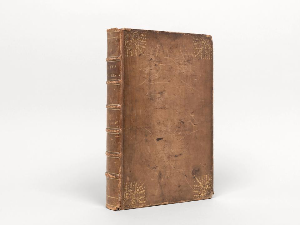
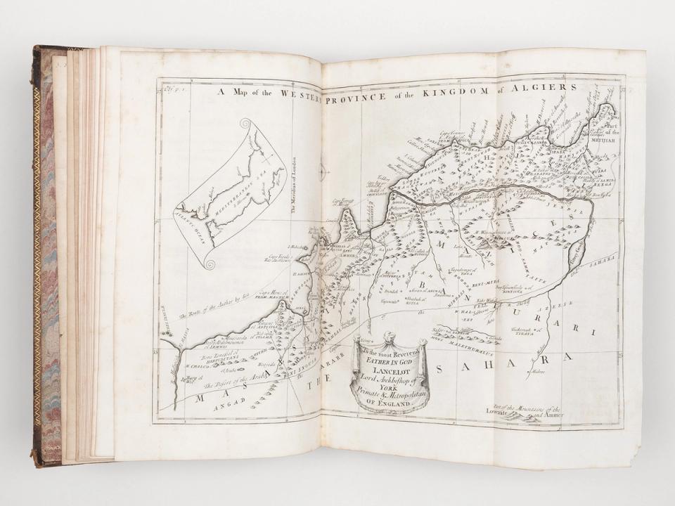
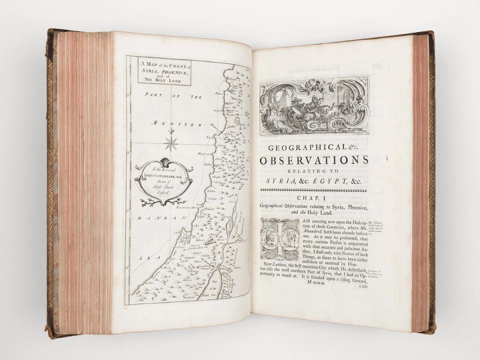
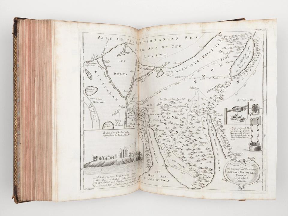
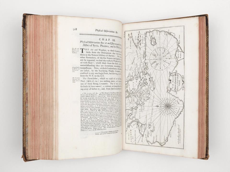
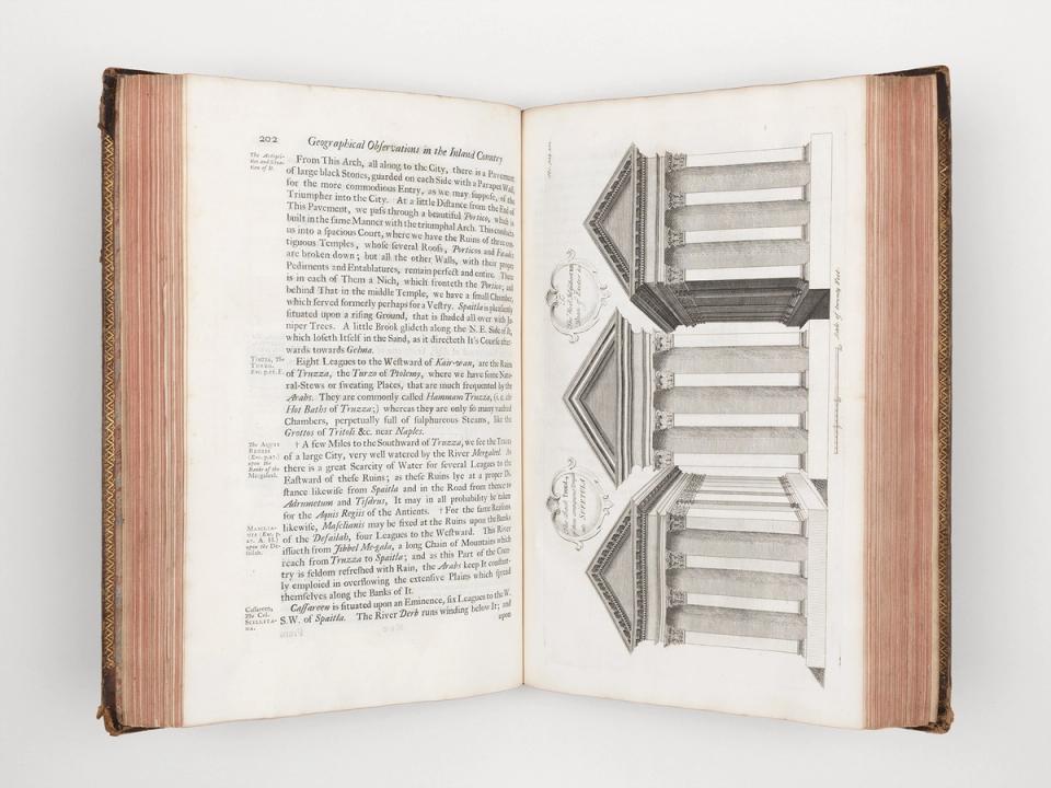
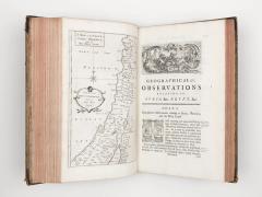
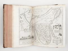
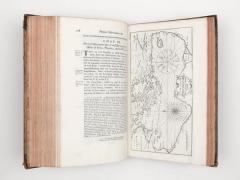
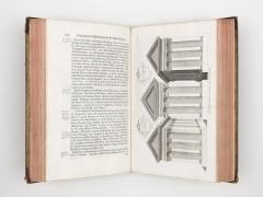
Beschreibung: Lederband d. Zt. auf 6 Bünden, gefasst mit goldgepr. Filetendekor, goldgepr. Titel auf rotem Maroquin-Rückenschild, beide Buchdeckel mit vier goldgeprägten Eckfleurons. Marmoriertes Vorsatzpapier d. Zt. Folio: 36 × 24 cm; pp. [4]Bl., xv, [1 (Errata)], 442, [1]Bl., 60, [8 (Index)]. Titelseite in rot und schwarz gedruckt. Mit 33 Kupfern auf 26 Tafeln (davon 13 Karten, von denen 7 ausfaltbar), 8 gestochene Vignetten (inkl. «The Theatre» auf der Titelseite), zahlreiche Textkupfer und 6 gestochene Initialen. Roter Farbschnitt.
Ref.: Boucher 17; Cox i, 377; Röhricht 1352; Tobler 123
Zustand: Der Einband berieben, bestossen und die Ecken mit leichten Absplitterungen, die Buchdeckel mit Kratzspuren, die Gelenke mit kleinen Einrissen. Der Inhalt stellenweise etwas stockfleckig und mit leichter Randbräunung.
Provenienz: Auf vorderem Spiegel ein Wappen-Exlibris mit dem Motto «Esse quam videri» der Familie Crawley-Boevey aus Flaxley Abbey, Gloucestershire. Handschriftlicher Besitzvermerk vermutlich Ende des 18. Jahrhunderts: «Stephen Leeson».
Notizen: Thomas Shaw (1694–1757) war zwischen 1720 und 1733 als Kaplan der englischen Handelsniederlassung in Algier tätig. Er war jedoch nicht nur Kleriker, sondern auch ein engagierter Altertumsforscher und Naturhistoriker. Während seiner Zeit in Algier unternahm er eine Reihe von Expeditionen: 1721 reiste er nach Ägypten, auf die Sinai-Halbinsel und nach Zypern, 1722 besuchte er Jerusalem, den Jordan und den Berg Karmel und 1727 reiste er nach Tunis und zu den Ruinen von Karthago. Dabei fertigte er zahlreiche Aufzeichnungen über Architektur, Altertümer, Geographie, Geologie und Naturgeschichte an. Nach seiner Rückkehr nach England im Jahr 1733 veröffentlichte er 1738 seine Forschungsergebnisse in seinem Werk «Travels or Observations». Seine Untersuchungen zur Kulturgeschichte des arabischen Mittelmeerraums, die mit präzisen Karten und Tabellen, ausführlichen Verzeichnissen von Tieren, Pflanzen, Fossilien, Münzen, römischen Inschriften und ägyptischen Hieroglyphen sowie einem umfangreichen Index illustriert sind, wurden wegen ihrer Genauigkeit und Zuverlässigkeit noch bis weit ins 18. Jahrhundert hinein hochgeschätzt.
---
Literatur:
Boucher de la Richarderie, Gilles: Bibliothèque Universelle des Voyages. Slatkine Reprints, Genève, 1970
Cox, Edward Godfrey: Reference guide to the literature of travel. Vol. 1: The Old World. Univ. of Washington, Seattle; 1935
Röhricht, Reinhold: Bibliotheca Geographica Palaestinae. H. Reuther, Berlin, 1890
Seccombe, Thomas in: Dictionary of National Biography (DNB). Smith Elder, London 1897. Bd. 51
Tobler, Titus: Bibliographica-Geographica-Palaestinae. S. Hirzel, Leipzig, 1867